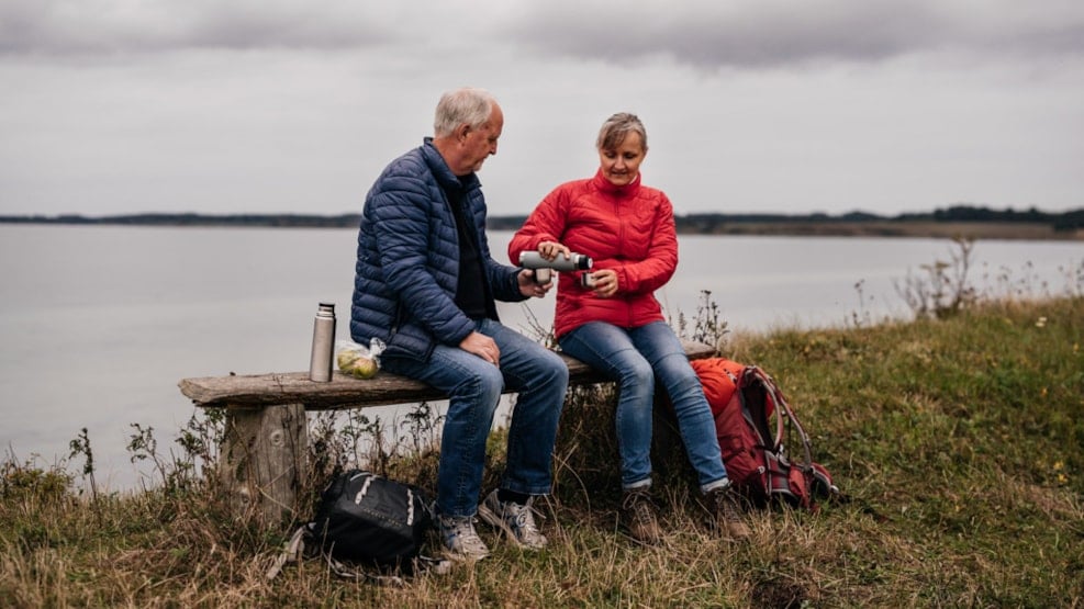
29 walks on Langeland, Strynø and Siø
1-139 km: Langeland offers 29 marked walks and hikes from 1 - 139 km (around the island) long.
Langeland has the hike for you.
Long and flat, Langeland is perfect for walking and hiking and there are trails for every purpose regardless of weather and season. Want to walk the dog on a quiet forest path on a Sunday afternoon? Do two or three stages of the Øhavsstien in one weekend? Or spend the autumn holidays hiking the 139 adventurous kilometres along the coast? Just get started!
Langelands Sti-venner have compiled 29 suggested walks, and apart from the long walk around the island, they are all marked with pictograms on posts or signs; no getting lost. The tours range from 1 km to 139 km long.
As the philosopher Søren Kierkegaard said: ‘I know of no thought so heavy that one cannot walk away from it’.
The map of the 29 hikes
The 29 hikes are collected on a large, old-fashioned fold-out map on strong, waterproof paper. On the back of the map, the trails are described along with experiences along the way.
Buy the map or download
You can print the overview map and one or more of the sub-maps for free here on the website. You can also buy the entire map as a printed fold-out map in large format (102 x 48 cm) with the texts on the back. The printed map can be purchased at the Langeland Visitor Centre and at the bookshop in Rudkøbing (you can also order it for shipping by writing to hc@bogpost.dk).
The 29 hikes
- The long ones:
- 5- 13 km: Øhavsstien 6 stages on Siø and Langeland
- 10-19 km: A walk around Langeland along the coast
- North Langeland
- The trails on North Langeland:
- 3.3 km: Vestre Stigtehave
- 1.6 km: Bræmlevænge
- 2.7 km: Mørkholm
- Snøde trail:
- 3,5 km: The short walk
- 6 km: The slightly longer walk
- Mid-Land
- Rudkøbing trail:
- 2.3 km: Vejlen Hjertestien at Rudkøbing
- 2-3 km: Longelse Bondegårdsskov forest
- South Langeland
- Skovsgaard
- 2 km: Agerløkke (agricultural path)
- 2 km: Voldsted/Skovsgaard Mill
- 2.5 km: Konabbe Skov (forest trail)
- 3 km: Påø Enge (meadow path)
- 2.5 km: Nørreløkke (fruit, vegetables)
- 1.5 km: Hennetved Gardens (forest trail)
- 1.1 km: Lindelse railway
- 1.1 km: Humble byskovs health trail
- 3 km: The lake stone
- Trails in TRYGGELEV and NØRREBALLE NOR:
- 2 km: Along Nørreballe Nor
- 3 km: Along Tryggelev Nor
- Trails in SYDLANGELAND and among THE WILD HORSE:
- 2.3 km: Small horse ride
- 5.3 km: Big horse ride
- 1.5 km: Fredsbjerg/Åbjerg/Søgaard
- 1.8 km: Østre Gulstav
- 1 km: Lunden
- 3 km: Firefighters' footsteps in Bagenkop
- Strynø
- 3 km: The trail
- 6.5 km around Strynø
(If you're up for a walk outside the market, you can find more suggested walks here)