Geopark: Lindelse Cove and the Strynø Basin
Lindelse Nor and the Strynø Basin together forms the finest example of the drowned landscape of the Stone Age.
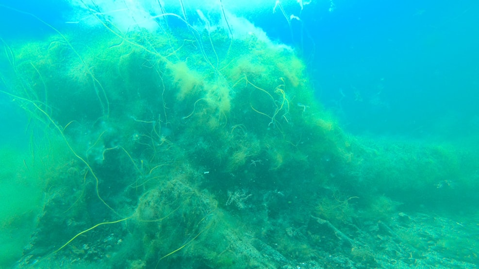
In both places, the stumps of the Stone Age forest testify that there was dry land here before the Archipelago was formed.
Lindelse Nor is a low-lying nor, where the current seabed is at very shallow water, and because of the surrounding land, you can imagine the landscape both before and after the great flood of the Stone Age.
At the end of the Upper Stone Age, around 6000 years ago, the climate was mild and warm, and almost all of the land was covered in dense forests. At that time, sea level rise had already reached a high level. In Southern Denmark, the post-glacial land uplift had slowed down considerably and had long since been overtaken by the simultaneous sea level rise. Nevertheless, South Funen, together with Langeland, Tåsinge, Ærø and several of the small islands, still formed a large contiguous land area that was only partially flooded relatively late in the process. This was partly due to the fact that there were a number of thresholds in the landscape that the sea had to cross before the low-lying parts of this land area were flooded and thus transformed into the archipelago we know today.
The trees that stood on western Langeland when the water rose up around them probably grew at the beginning of the Early Stone Age. They could not tolerate the salty water and died. As the trees died, they collapsed into the water, which prevented them from rotting away. This is why you can still see well-preserved stumps and trunks on the seabed in many places.
Lindelse Nor is extremely rich in archaeological finds such as flint tools: axes, knives, scrapers and drills, as well as pottery shards from many types of pots and vessels. The amount of finds indicates that Lindelse Nor was an important and popular place of residence for Neolithic people.