Walk Around Langeland - Etape 1 - 19 km - Spodsbjerg - Østerskov
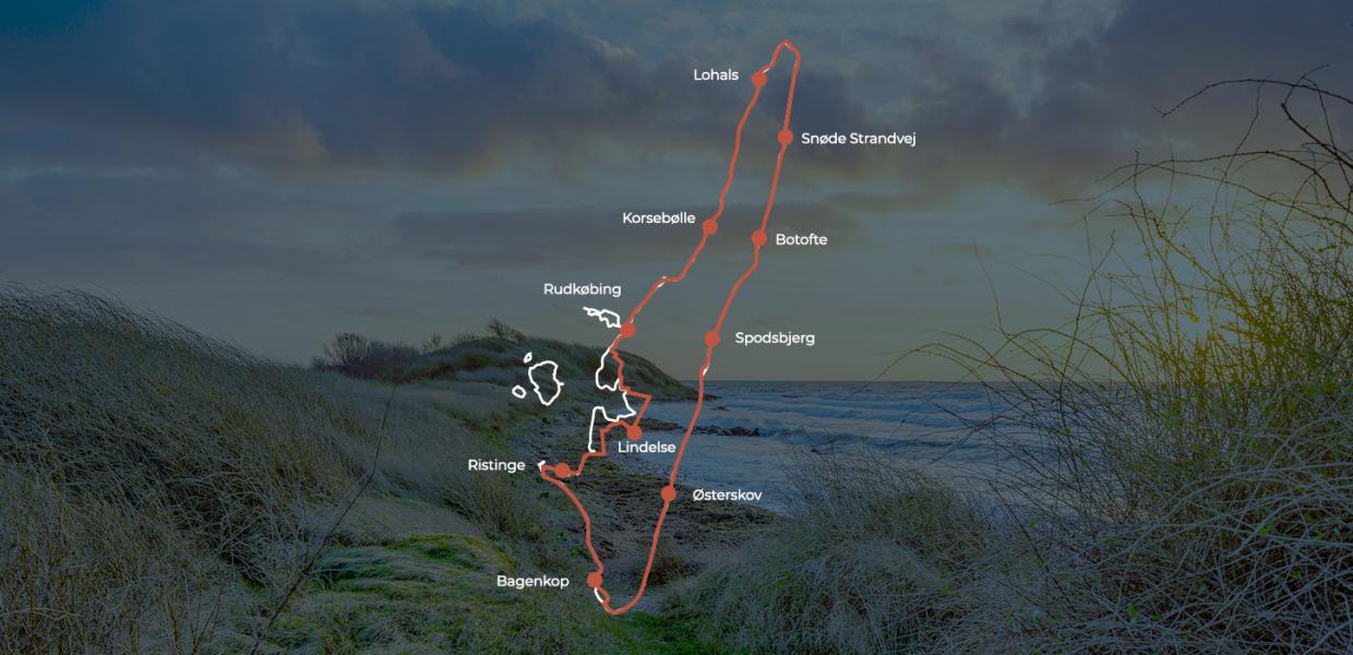
If you are planning to walk right around Langeland then Spodsbjerg is a great place to start.If you head south, you can walk along the beach for mos...


On some stretches you walk on Øhavsstien, the 220 km long hiking trail around the South Funen Archipelago. The Archipelago Trail is signposted and maintained, but the rest of the route is not signposted and not maintained. Depending on weather and wind, the route can be difficult to navigate. It is recommended to use the maps and descriptions provided in Danish by Langelands Sti-venner.
Navigability depends on the water level and if you can't walk along the water's edge or an alternative route as the maps indicate, walk back along the beach and find a dirt or tarmac road that you can follow back to the coast.
The hike is divided into 10 stages, the shortest is 10 km, the longest 19 km. The hike begins in Spodsbjerg, you walk clockwise around the island and pass all the island's harbour towns.
We have given the hike the rating "easy", but that does not mean that it is safe for you. If you are walking badly, we recommend that you do choose this hike.
We have gathered some tips and good advice about how to respect nature when you are going on an adventure in the nature on Fyn.
Fanø, Langeland, Læsø, Samsø and Ærø together have a 407 km long hiking route through beautiful and unspoilt nature around the five islands. Check out the other islands' Island Camino below.
Ø-CAMINO is part of the Øhigh5 project, supported by Danmarks Erhvervsfremmebestyrelse.
Take you very own tour guide along in your pocket! With a digital map in your hand you can find an overview of the islands many attractions and get inspiration seek out new experiences on foot, on the sea, or by bike.