The Nature of Langeland
A first class nature experience
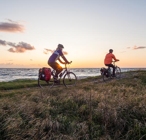
Langeland is an island and this fact makes the landscape special in many ways. With 152 kilometres of coastline, Langeland has numerous and varied coastal landscapes.
Langeland is like a miniature version of Denmark, everything is there and the distances between the special landscapes are short. A route can be experienced in one direction and completely differently on the way back, because the individual parts, their interplay and their orientation are decisive for the landscape experience.
Discover the geopark of the south fyn archipelago
The diversity of the coastal landscape
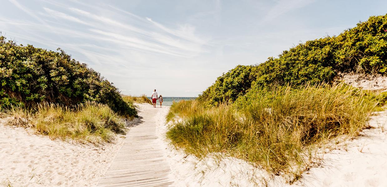
The entire east coast of Langeland towards Langelandsbælt and the north-west coast of the island towards Langelandssund are levelling coasts. Over the centuries, waves and currents have moved the sand and flattened the shape of the coastline so that today it appears almost straight.
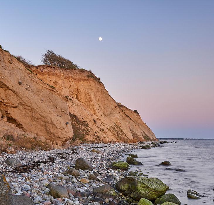
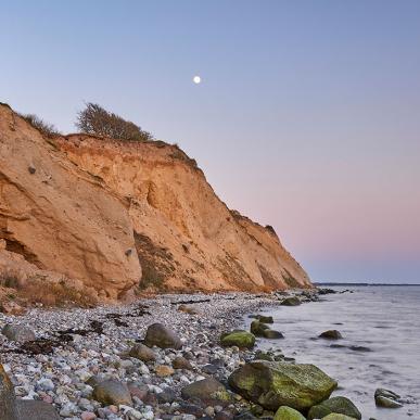
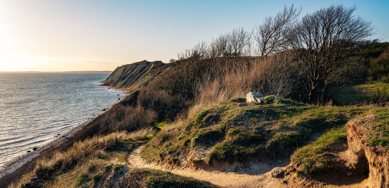
On the west coast, narrow beaches alternate with high or low cliffs and low areas with bays. The bays are cut off from the sea by low dikes or embankments.
Discover our beaches
Ristinge Klint and the peninsula
Active in Nature
Find other activities in the nature →
I skovens dybe, stille ro, hvor sangerhære bo. Hvor sjælen lytted mangen gang – til fuglens glade sang, der er idyllisk stille fred i skovens ensomhed, og hjertets længsler tie her, hvor fred og hvile er!
I skovens dybe stille ro
The folk song "In the deep silence of the forest" was written on Langeland by Fritz Andersen and is popularly known as "Langeland's national melody".
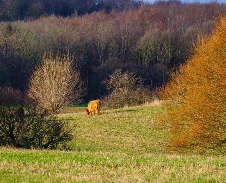
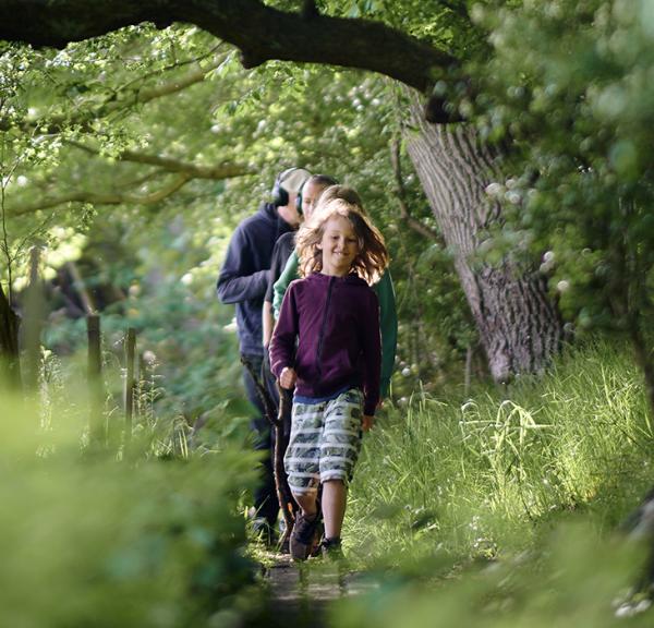
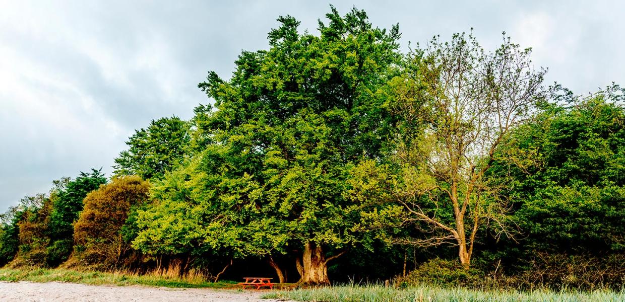
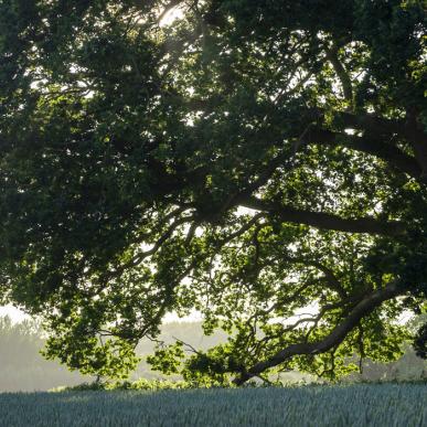
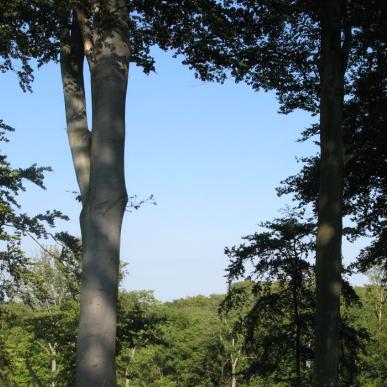
The deep silence is exactly what you will find in the forests of Langeland. The forests vary from large coastal beech forests to smaller mixed forests that lie like islands in the landscape.
The hilly landscape
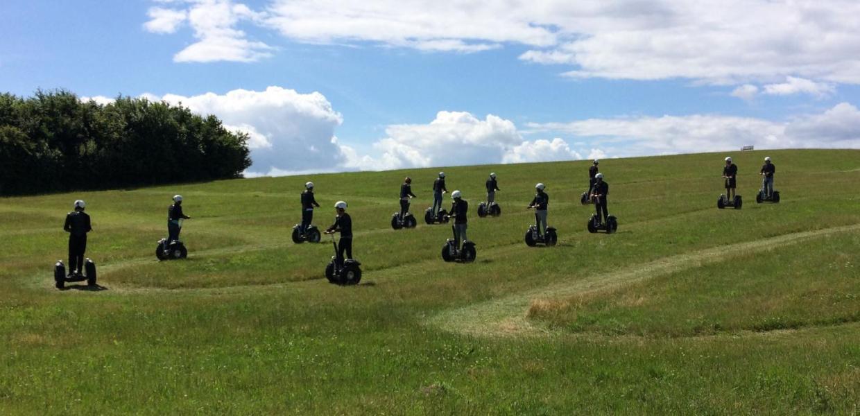
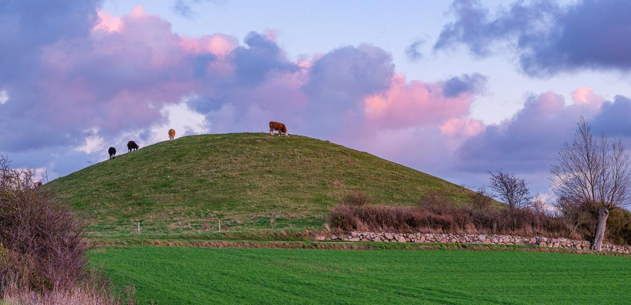
Unique to Langeland are the hilltops, which are easily recognisable by their round shape and look as if they have been tilted by a trailer.
Langeland has about 1000 mounds, which can be found all over the landscape, except in the municipality of Stoense and on the Ristinge peninsula. Most are between 10 and 20 metres high, but some are over 30 metres. The 38 metre high Hesselbanke west of Tranekær and Fakkebjerg (37 metres) on South Langeland are good vantage points, while the highest hill on the island, Støvlebjerg (47 metres) near Tryggelev, is forested (on private land).
Discover the hat hills
Manor landscapes
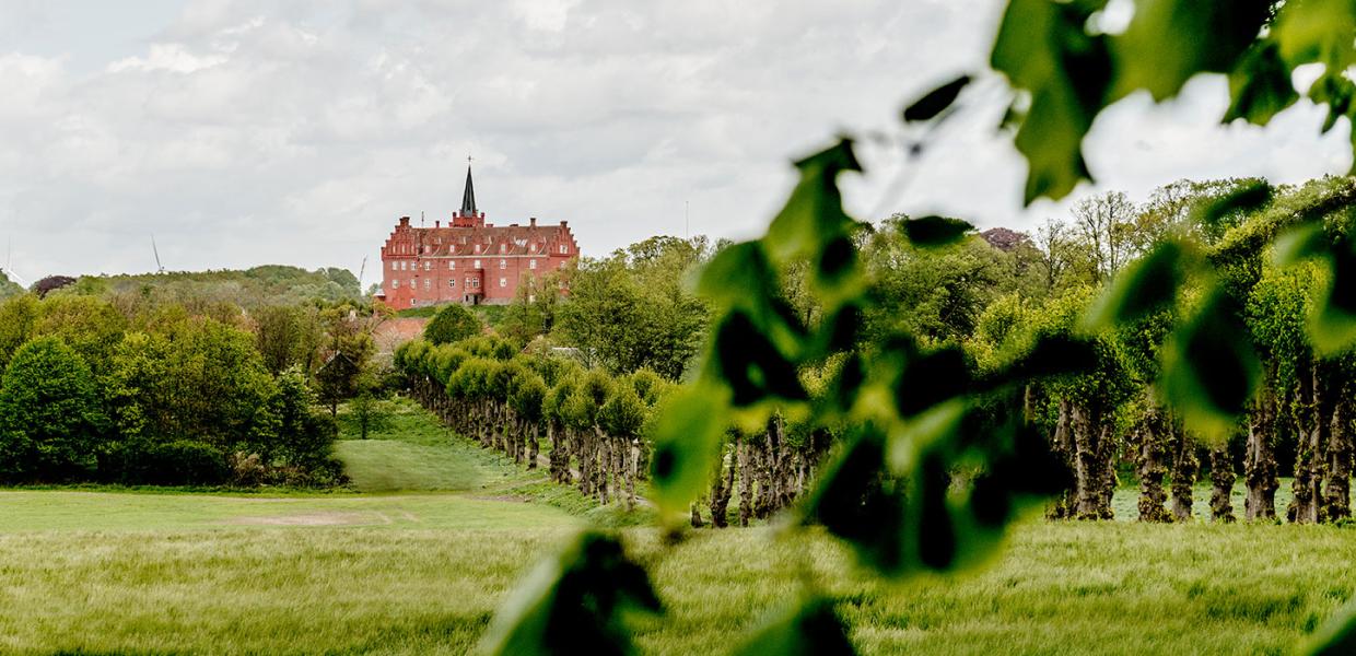
Langeland has a number of manor houses - Broløkke, Egeløkke, Fårevejle, Hjortholm, Møllegård, Nedergård, Skovsgård, Steensgård, Søvertorp, Tranekær and Vestergård.
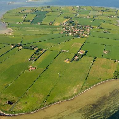
These farms have shaped the surrounding landscape throughout history. It is above all the spaciousness and simplicity of the large estates that distinguishes them from the smaller and more complex agricultural landscapes on Langeland.
